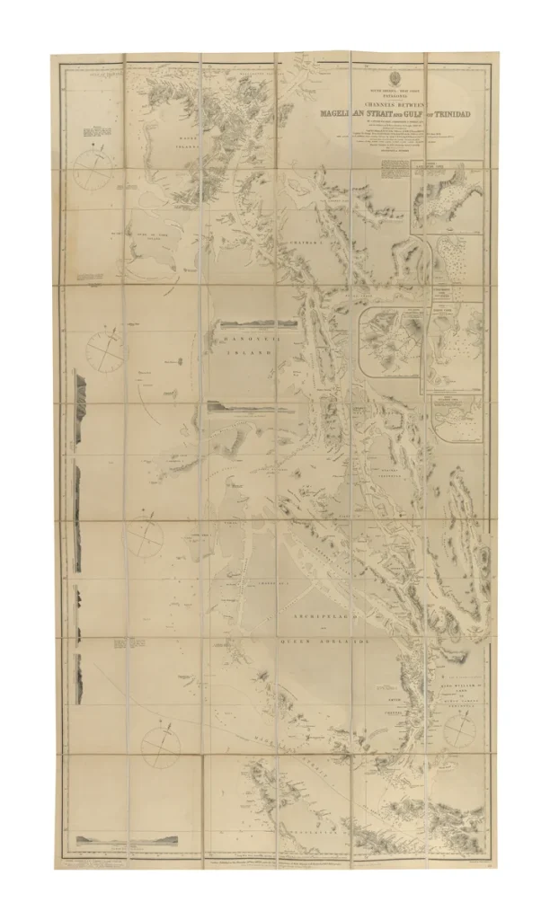
South America – West Coast – Patagonia – Channels Between Magellan Strait and Gulf of Trinidad
Viaje politico-cientifico alrededor del mundo por las corbetas Descubierta y Atrevida al mando de las Capitanes de Navio Alejandro Malaspina y Jose de Bustamante y Guerra desde 1789 a 1794 (Title on spine is “Viaje de Malaspina”)
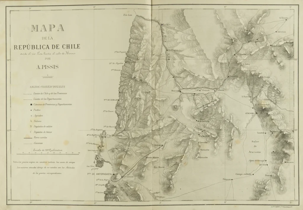
Mapa de la República de Chile desde el río Loa hasta el cabo de Hornos
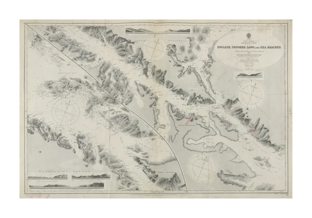
South America Magellan Strait, English, Crooked, Long and Sea Reaches
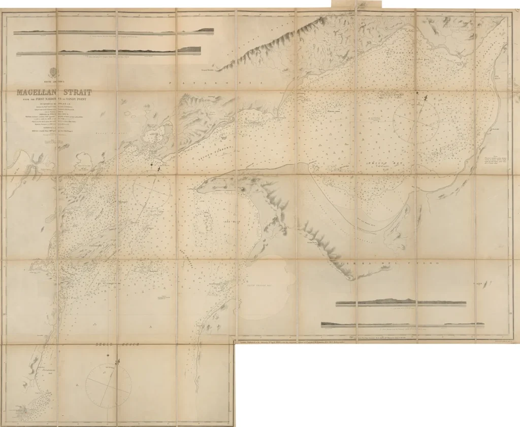
Magellan Strait from the First Narrows to Sandy Point